|
|
| Sıa (Taştandam) |
|
|
|||
 |
|
||||
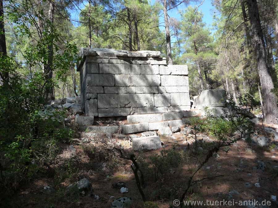
| House grave in the necropolis | |||||
|
Sıa (Taştandam) was an ancient city in Pisidia. The town was probably founded in the 2nd century BC on the southern and western slopes of a hill. From the Hellenistic period, parts of the city wall with towers and gates have been preserved. Most of the houses date from this early period. The common feature of these houses is that their roofs were designed to collect rainwater, which was collected in bottle-shaped cisterns on the ground floor. |
|||||
|
|
|||||
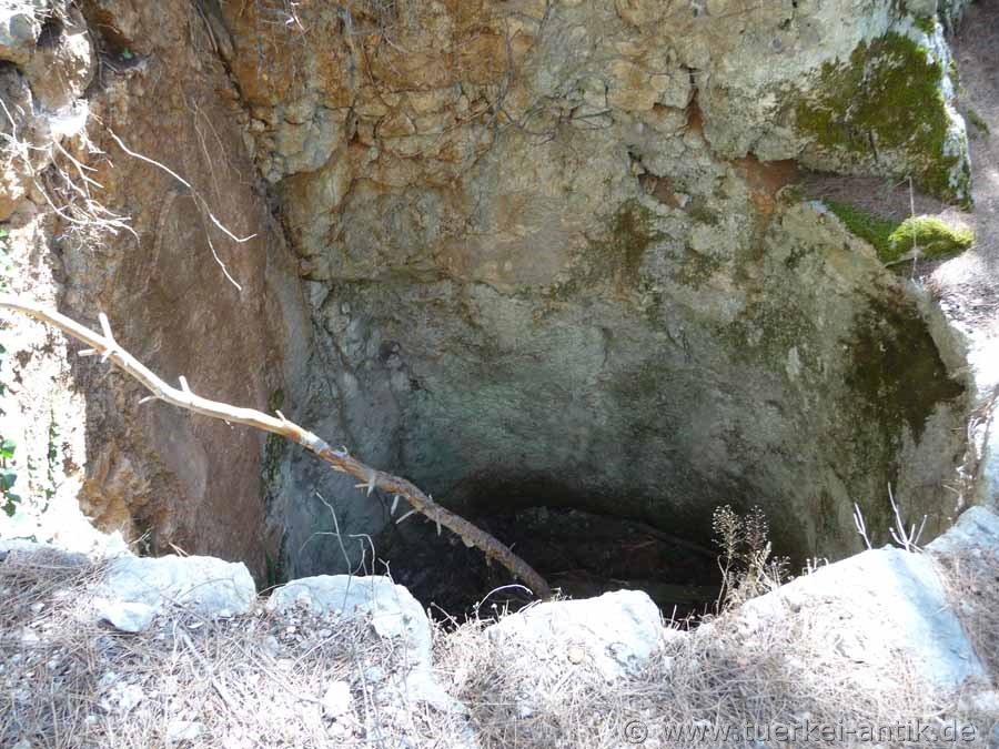
| Cistern carved into the rocks | |||||
|
Sıa was historically meaningless due to its secluded location. Due to the lack of passable roads, the preserved building fabric is very well preserved. The Via Sebaste, built and maintained in Roman times, disappeared completely in this part of Pisidia after the collapse of the Byzantine Empire. Only a small section over the Taurus remained until the Maximianupolis customs station. |
|||||
|
|
|||||
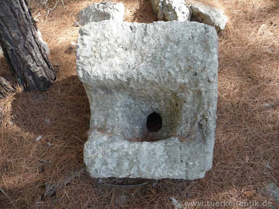
| cistern inflow | |||||
|
|
|||||
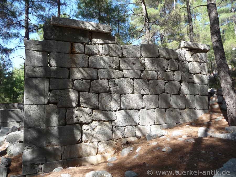
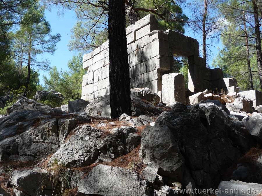
| Side wall of a Hellenistic temple | |||||
|
|
|||||
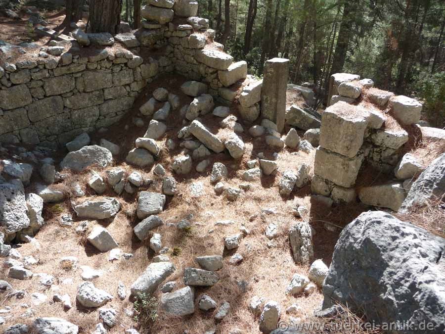
| The Bouleuterion | |||||
|
From Roman times a Bouleuterion, three Roman temples and a monumental staircase as well as an agora with Doric stoa can be seen. Ruins of two basilicas have been preserved from Byzantine times. |
|||||
|
|
|||||
| Roman house grave | |||||
|
|
|||||
|
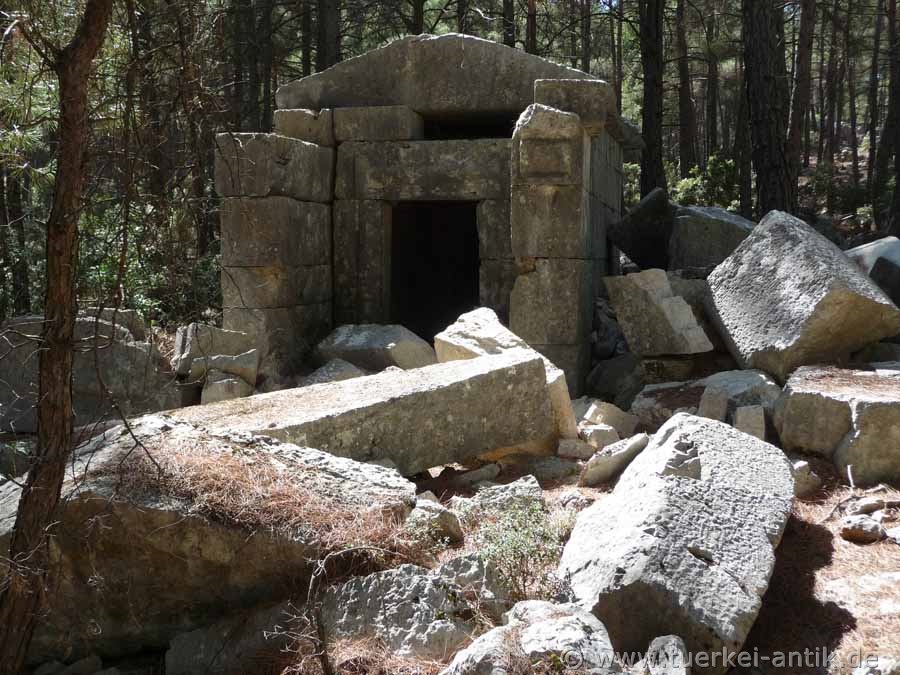
House grave with preserved roof |
|||||
|
|
|||||
|
|
 |
||||
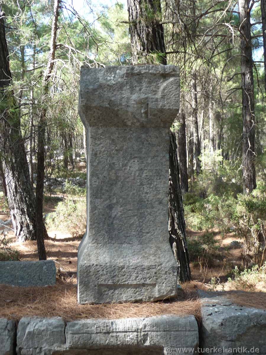
| Inscriptions pedestal | |||||
|
|
|||||
|
Sıa can be reached from the national road D650 Antalya-Isparta. Coming from Antalya after about 50 km you first drive through several excellent serpentines to cross the pass summit of Çubuk Beli at its end. After about 3 km you reach the departure to Dağbeli.
Cross the village Dağbeli. |
|||||
| Photos: @chim | |||||
| Translation aid: www.DeepL.com/Translator | |||||
| Source: Wikipedia and others | |||||
|
|
|||||