|
|
| Trebenna |
|
|
|
 |
|
||
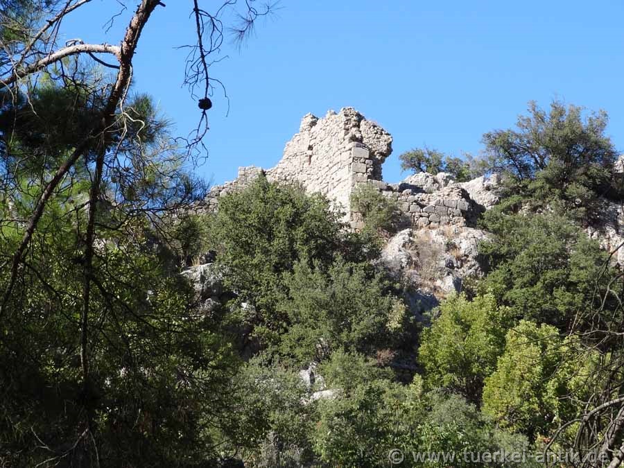
| The Acropolis Hill of Trebenna | |||
|
Trebenna is not mentioned by any ancient writer. The name is only known through coins and inscriptions. The city's age probably dates back to classical times. Since Hellenistic times Trebenna was a member of the Lycian League, in the later imperial period Roman Titular colony and in the 5th century bishop's seat. In late antiquity, the city belonged to the province of Pamphylia. Coins are only known from the time of Gordian III. |
|||
|
|
|||
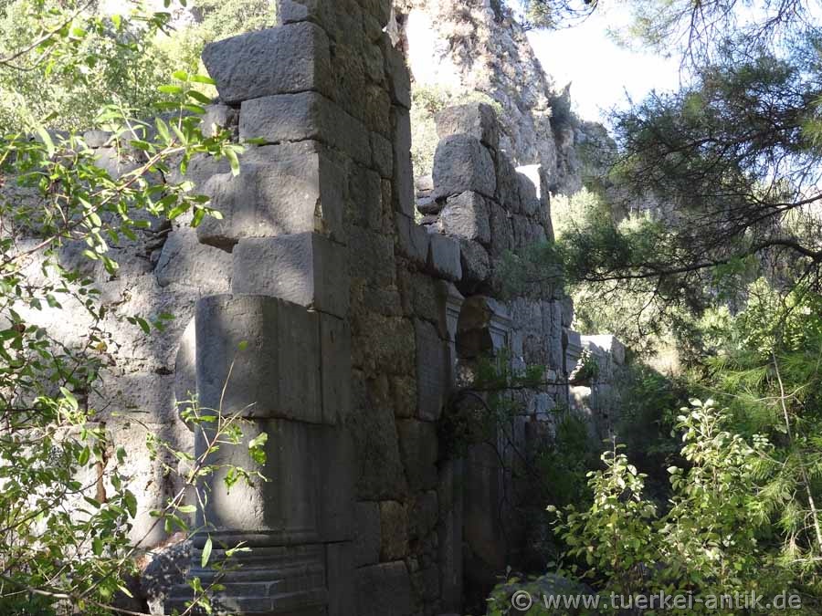
| The Sebasteion | |||
|
The ruins of the city lie on a small hill and are surrounded by an early Byzantine defensive wall. Numerous inscriptions and sarcophagi are built into the wall. In the city there are remains of Roman baths and an early Byzantine basilica. Above the city lies an acropolis, with a central Byzantine one-room church. |
|||
|
|
|||
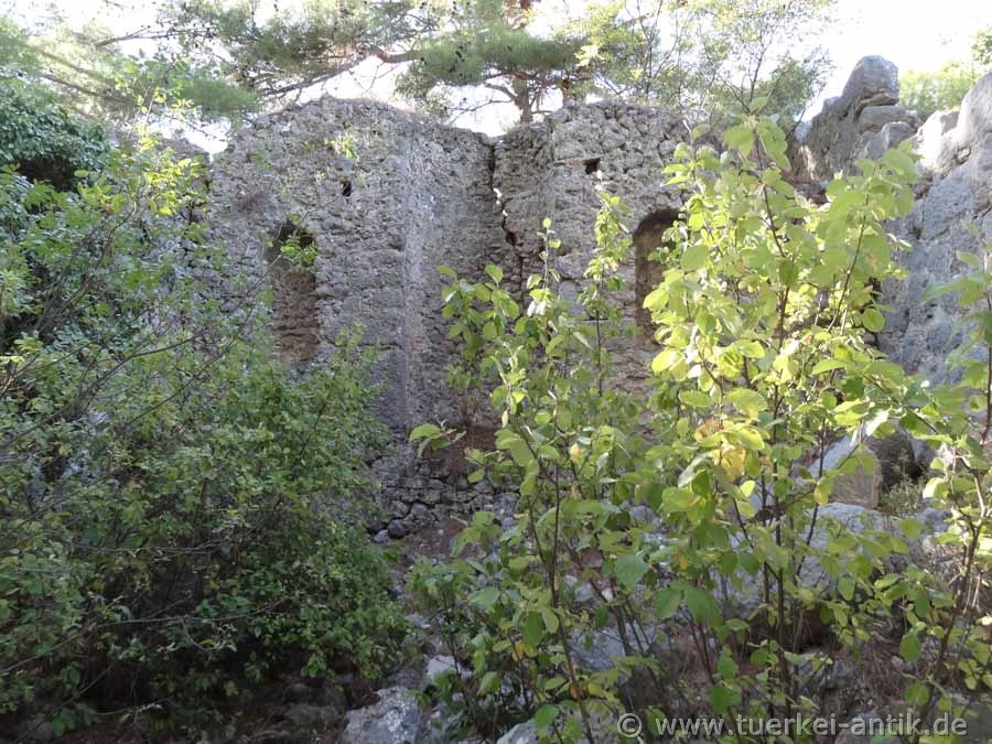
| The Ekklesiasterion (meeting room) | |||
|
|
|||
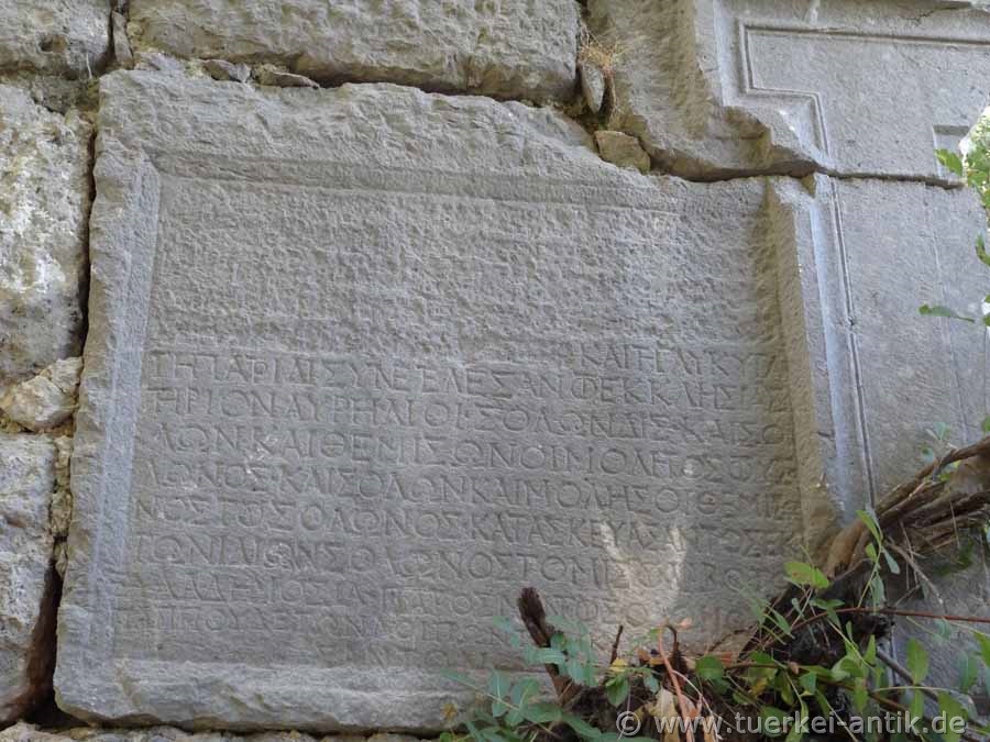
| Inscription on the Ecclesiasterion | |||
|
The fortifications of the Acropolis, visible today, date from Byzantine times, while the buildings on the Agora were built or renovated in Roman times. The Ekklesiasterion (meeting room) was the most important public building in the city. The apse-like recess in the rear area suggests its use as a consultation room and as an Odeon. |
|||
|
|
|||
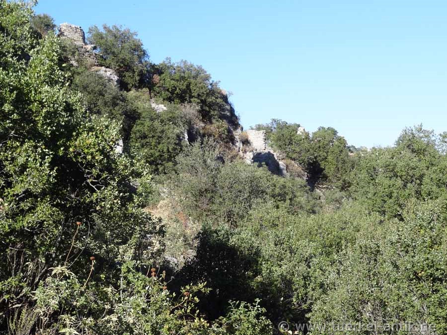
| Access to the Acropolis on the south side | |||
|
Trebenna lost its importance with the end of the Byzantine Empire and was abandoned. There is still a Catholic Titular Bishopric of Trebenna. |
|||
|
|
|||
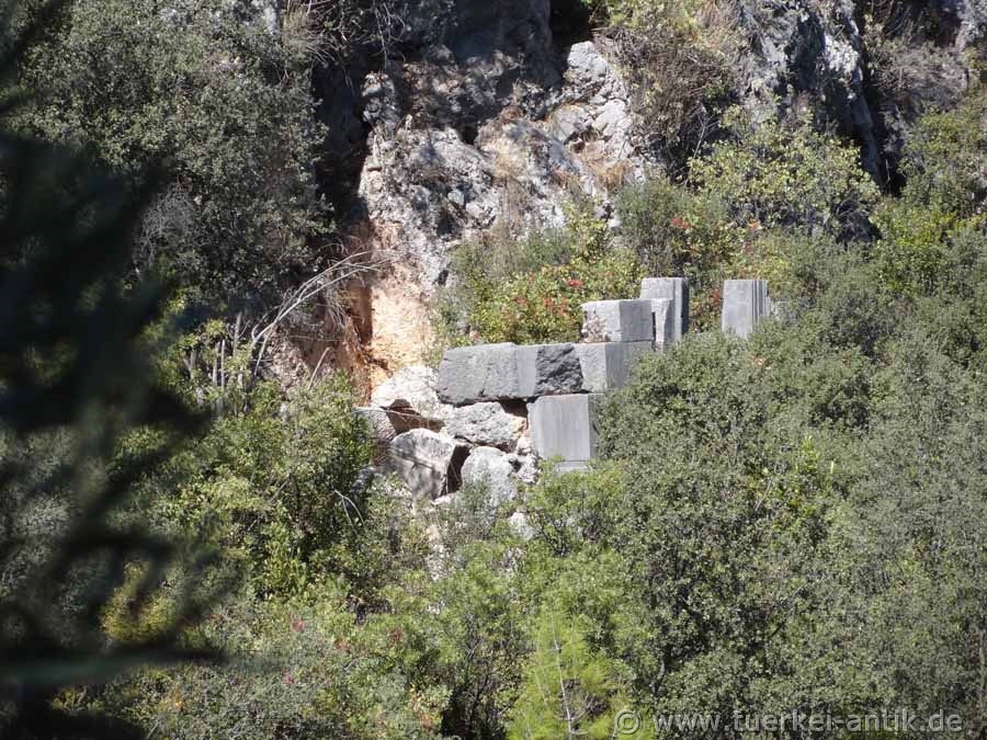
|
Fortifications on the south side of the Acropolis |
|||
|
|
|||
|
|
|||
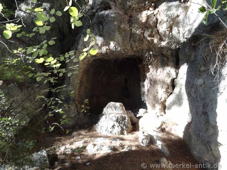
|
Gravecave below the Acropolis |
|||
 |
|||
| Tomb in the western necropolis (not accessible due to the vegetation) | |||
|
Die Nekropolen weisen einige Besonderheiten auf. So konnten hier in den Fels geschlagene Rundostotheken (Ostothek > „Knochenkiste“) lokalisiert werden, wie sie in dieser Form bisher nur in den Nekropolen Trebennas zu finden sind. |
|||
|
|
|||
|
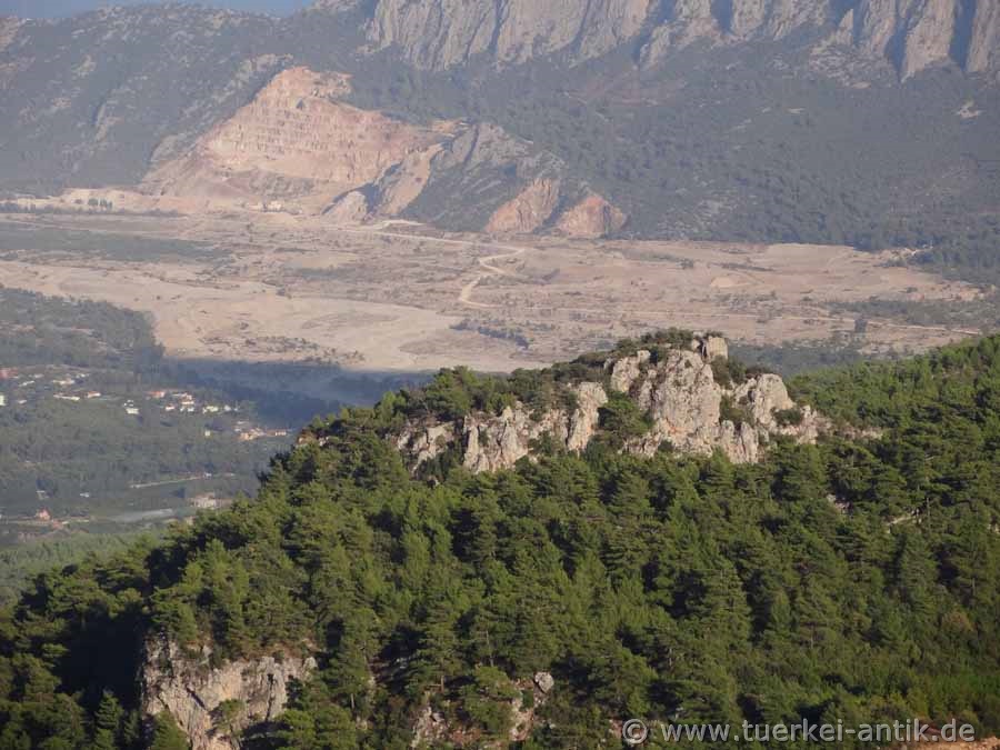
The ruins of the ancient city of Trebenna are 22 km south-west of Antalya at today's places Geyikbayırı / Çağlarca. You reach the city by taking the D400 after the last overpass, do not follow the D400 towards Kemer, but continue straight on the 07-75, the Hürriyet Cad.
|
|||
| Photos: @chim | |||
| Translation aid:www.DeepL.com/Translator | |||
| Source: Wikipedia and others | |||
|
|
|||