|
|
| Kremna in Pisidia |
|
|
|
|
|
|
||
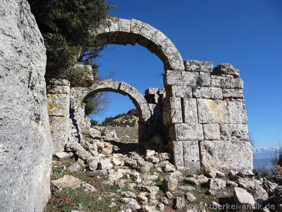
| The southern city gate | |||
|
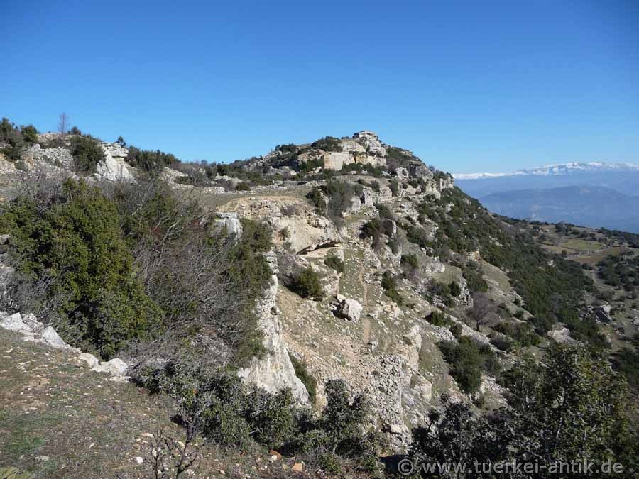
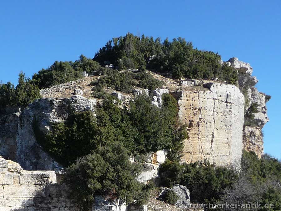
The name of the city literally means "cliffs". It lies on an isolated rocky ridge more than 1200 m high, which rises 250 m from a high plateau. The city itself, situated on a rocky plateau that can hardly be stormed, is mentioned in only a few historical sources. |
|||
|
|
|||
| View of the Acropolis at the eastern end of the "cliff". | |||
|
Only the Roman geographer Strabo states that the city was once conquered by the Galatian king Amyntas. After his death, the Romans took over the city. Emperor Augustus tried to pacify the new province of Galatia and its warriors by building colonies of veterans in Kremna and many other places. |
|||
|
|
|||
| Pedestal of a temple | |||
|
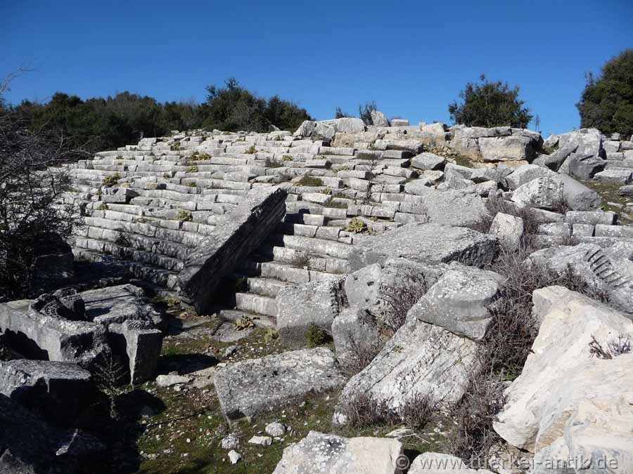
In the second and third centuries AD, the city flourished. Many public buildings were erected, such as several temples, a basilica, two theatres and a public bathhouse, which was later converted into a library and gallery. In order to supply this bathing establishment, an aqueduct had to be built, which was supplemented by astonishing mechanical devices. |
|||
|
|
|||
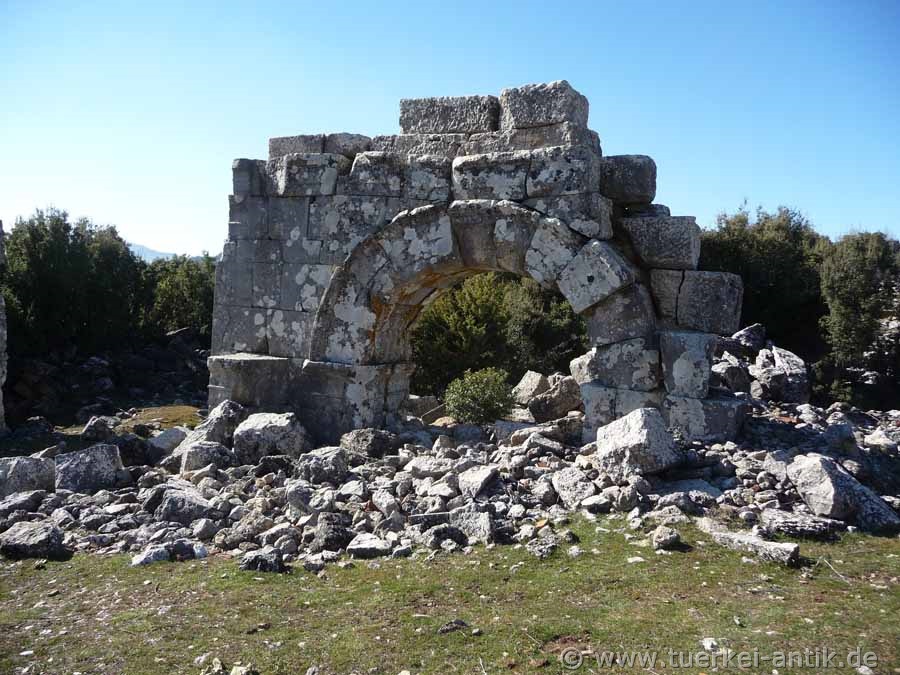
| Temple gate | |||
|
|
|||
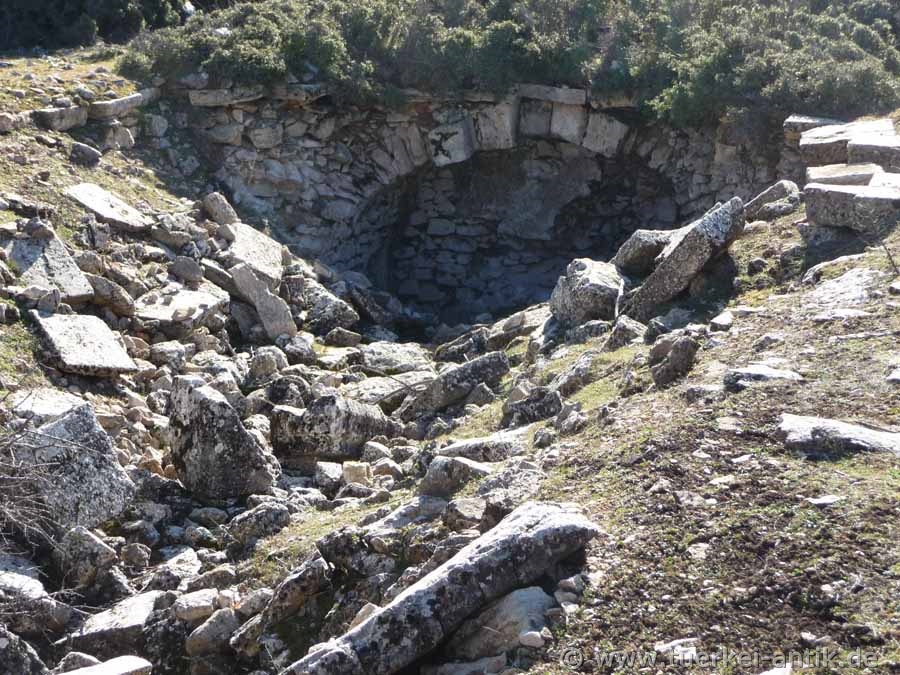
| Collapsed cistern at the Agora | |||
|
Nothing of the pre-Roman Kremna has been preserved, the ruins are mainly from the Middle Imperial period and Late Antiquity. |
|||
|
|
|||
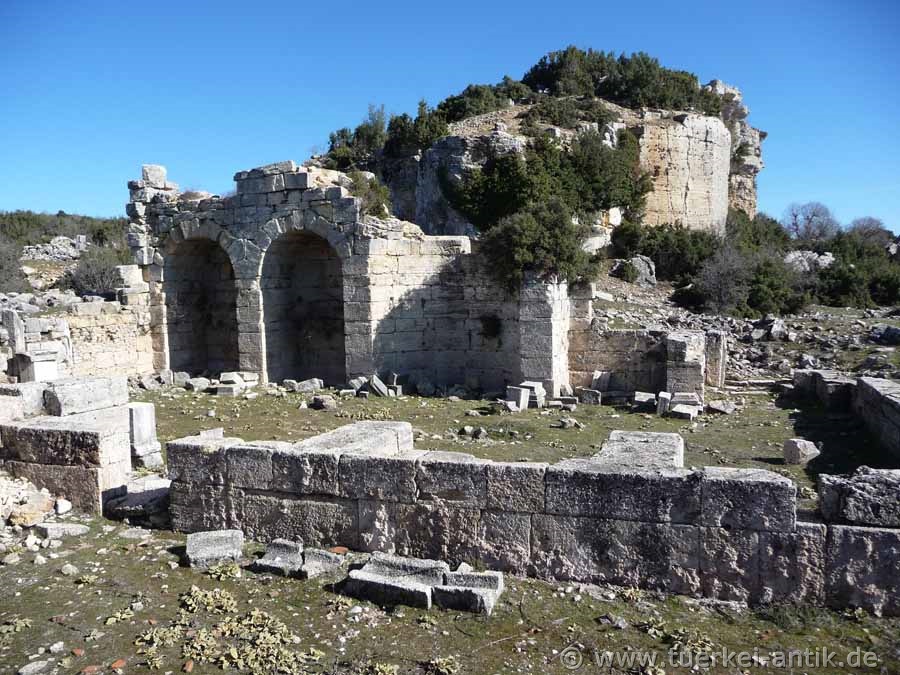
| The "Library" of Krema | |||
|
Historical sources report of bandits who made the region unsafe in 278 AD. When they were driven out by Roman troops, they fled to Kremna, where they were besieged and defeated by the Romans. The city did not recover from the consequences of this siege. British researchers found numerous clues to the siege, including two siege walls, numerous projectiles and a bulwark of defenders and an inscription dedicated to Emperor Probus. The finds from Kremna can be found in the Archaeological Museum in Burdur. |
|||
|
|
|||
|
|
|||
|
Above the "library" was the Roman theatre, which was apparently never completed. |
|||
|
You can reach Kremna via the national road D685 from Antalya to Isparta. Almost 70 km after the junction of the D685 from the coastal road D400 near the airport Antalya you reach the clearly signposted junction to Kremna on the left. The 10 km asphalt road typical for the mountain region leads partly in steep serpentines to the village Çamlık. From there follow the signs to Bucak for 2 km. At the next settlement a dirt road leads at an acute angle to the right to Kremna. This path is also signposted. After another 600 m you will reach the guards' house. |
|||
| Photos: @chim | |||
| Translation aid: www.DeepL.com/Translator | |||
| Source: Wikipedia and others | |||
|
|
|||